Shaping Ground That Supports Your Plans
Grading & Excavation in Marshville for properties needing corrected drainage, access routes, and stable surfaces after clearing
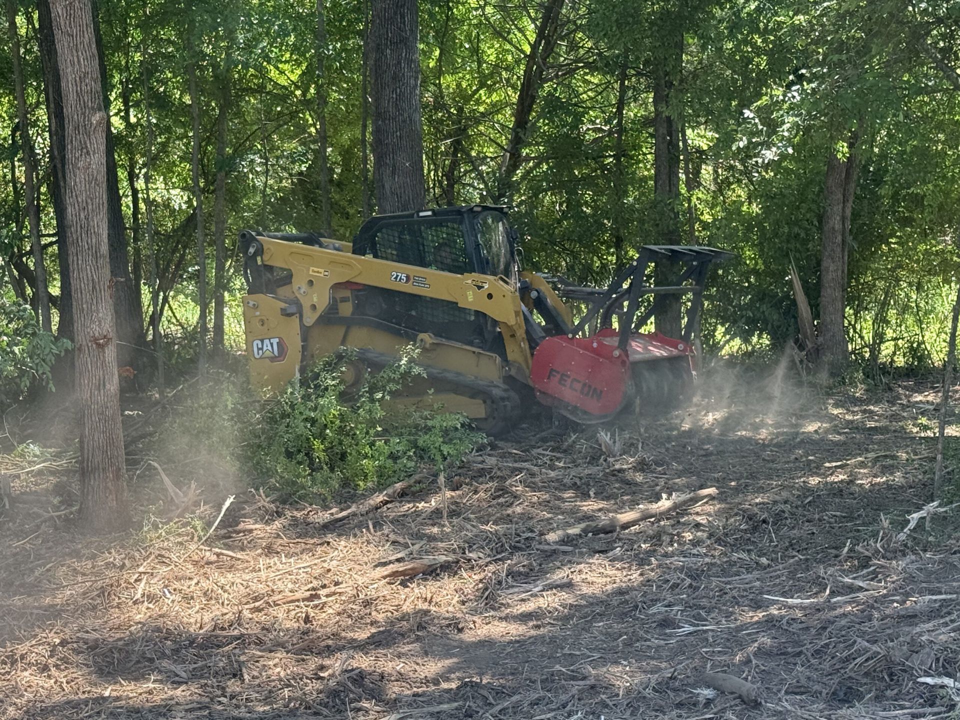
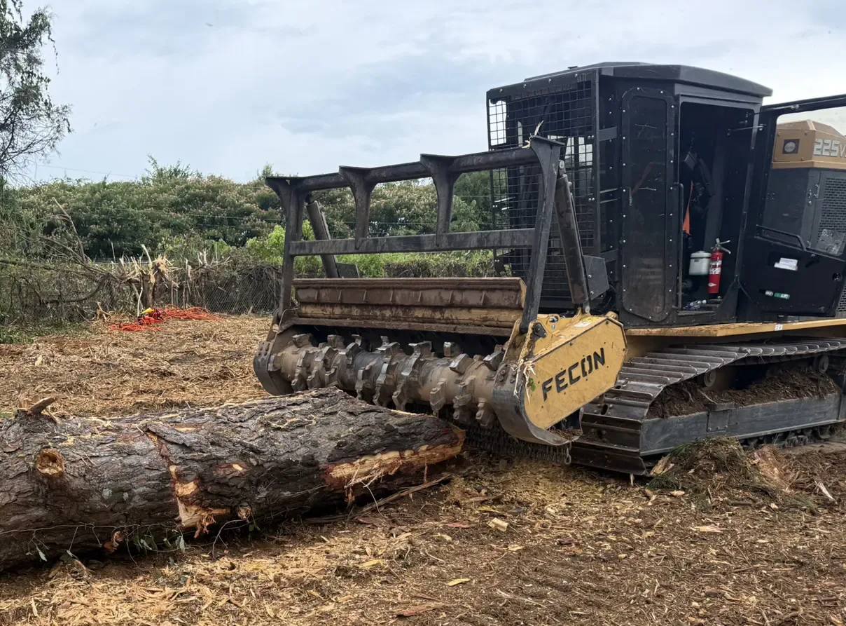
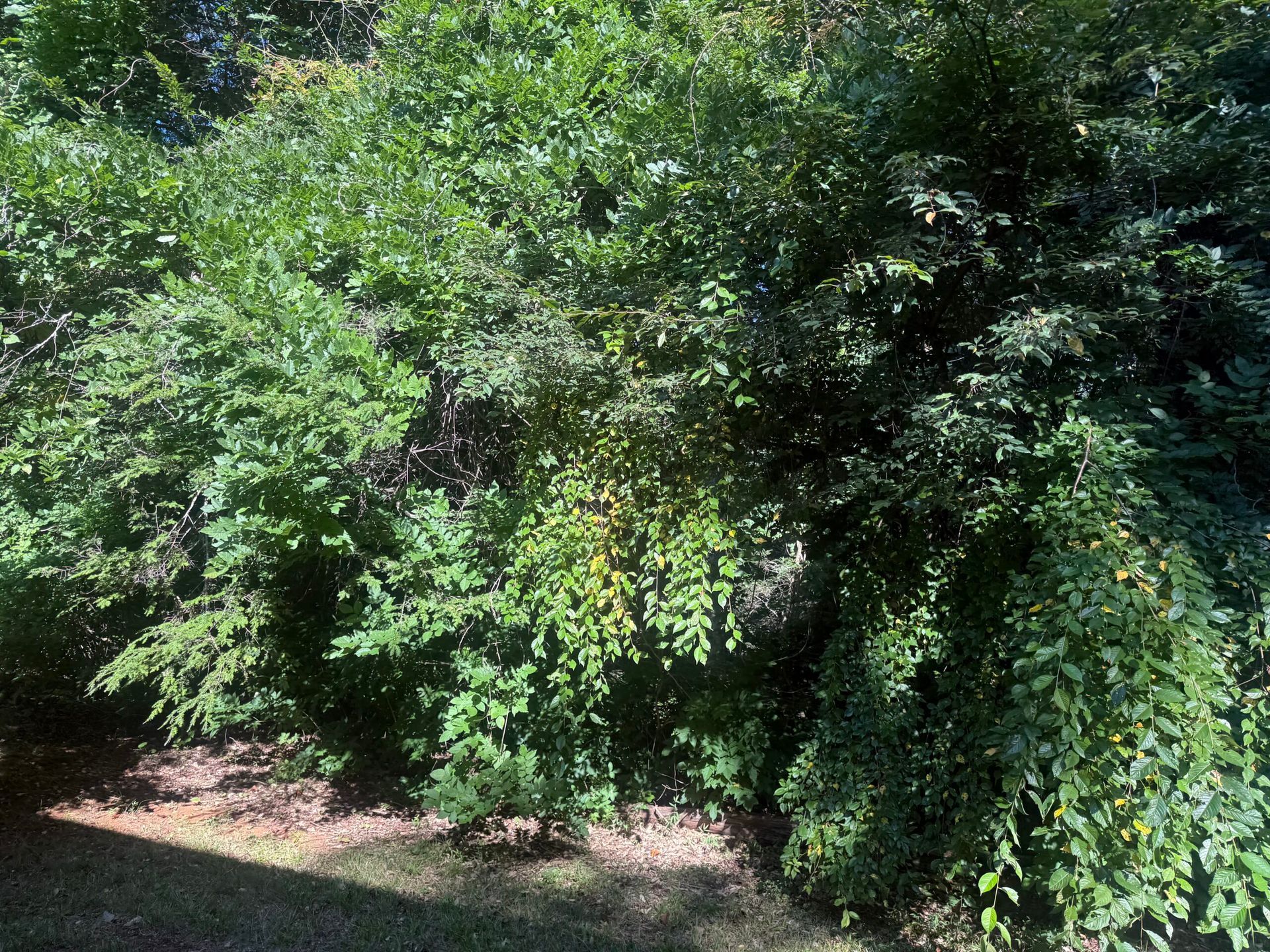
Rough terrain left after clearing often includes low spots that collect water, slopes too steep for safe access, and uneven ground that prevents construction staging or driveway installation. Grading reshapes these surfaces by moving soil to establish controlled drainage paths, correct problematic elevations, and create stable working areas that support the property's intended improvements. Keeter Land Management provides grading and excavation across the Greater Charlotte Metro Area after land clearing exposes the actual ground conditions and before construction, road building, or drainage projects begin.
Evaluating slope, existing soil conditions, natural drainage patterns, and the final planned use determines how material gets moved and where elevations must change. Grading for a residential driveway requires different attention to compaction and crown than shaping a flat equipment pad for agricultural storage, and both differ from excavation work that removes unsuitable soil or creates retention features.
Schedule a site review so slope measurements, drainage observations, and soil characteristics can be assessed relative to your planned property improvements and grading objectives.
How Grading Addresses Rough Areas
Grading begins with identifying high and low points, mapping where water naturally flows during rain events, and determining which areas need material added, removed, or redistributed to meet project requirements. The work involves cutting high spots, filling depressions, establishing positive drainage away from structures or roads, and compacting disturbed soil so the finished surface supports loads without settling or rutting.
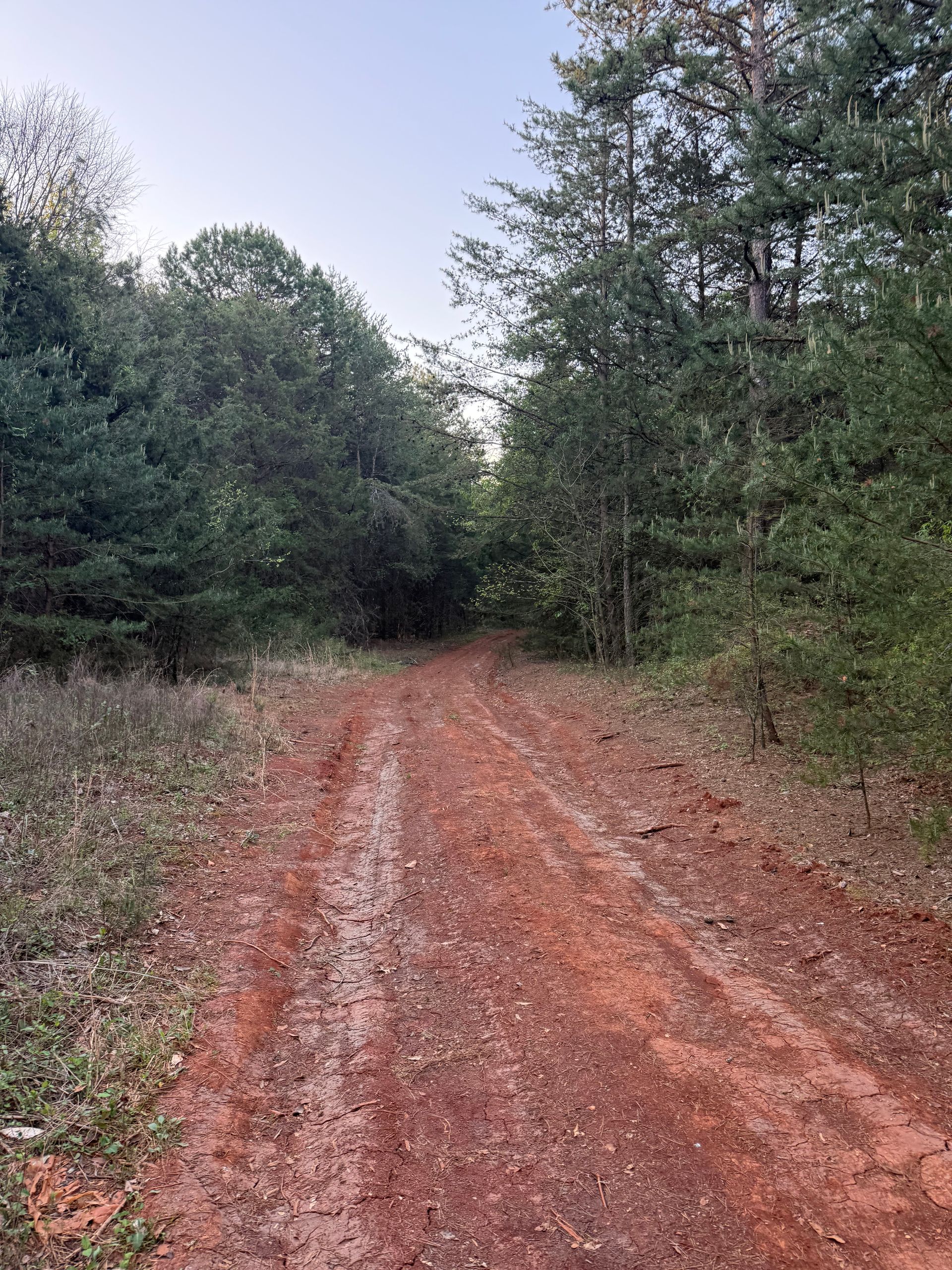
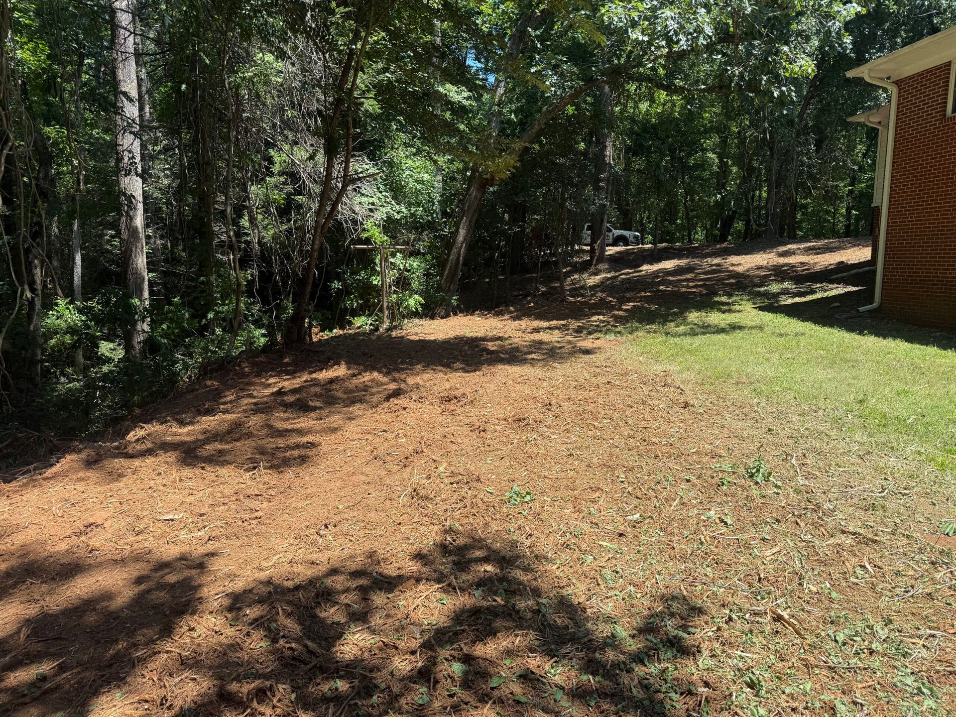
After grading completes, you observe defined drainage paths that direct runoff away from buildings and access routes, level pads suitable for construction or equipment placement, and slopes gentle enough for safe vehicle access without erosion during heavy rain. The property no longer traps water in random low spots or presents obstacles that prevent the next phase from starting on schedule.
Grading establishes functional elevations and drainage but does not replace unsuitable soils, install subsurface drainage systems, or provide engineered base layers for pavement—those elements require separate evaluation and often accompany grading when supporting roads, driveways, or permanent structures. What grading accomplishes is transforming unusable, uneven cleared ground into surfaces shaped for specific improvements.
What Property Owners Usually Ask
Grading decisions affect drainage performance, construction feasibility, and long-term site stability, so understanding how terrain and soil influence the work helps property owners plan realistic timelines and budgets. Common concerns center on process details and site-specific conditions.
What site factors affect grading complexity?
Soil type, existing slope percentages, presence of rock or wet zones, and the elevation changes required to meet drainage or access goals all influence equipment needs, material handling, and whether additional soil correction or stabilization becomes necessary during the work.
How does grading integrate with clearing and drainage projects?
Clearing exposes the raw terrain so grading can address actual elevations rather than assumptions made through vegetation, and grading establishes the surface that drainage features follow, making sequenced coordination critical for properties in Marshville requiring comprehensive site preparation.
What happens to excess soil during excavation?
Depending on project scope, excavated material can be redistributed on-site to fill low areas, stockpiled for future use, or hauled off if volume exceeds what the property needs—disposal adds cost and timing considerations that affect overall project planning.
When should grading occur relative to driveway or building construction?
Rough grading typically follows clearing and precedes access road installation so drainage paths are established first, while finish grading happens after underground utilities and base layers are placed to set final elevations around structures and paved surfaces.
How is compaction verified after material is moved?
Properly compacted fill settles minimally under loads and resists rutting, achieved through placing soil in controlled lifts, adjusting moisture content, and using appropriate equipment—visual inspection and performance over time confirm whether compaction met project requirements.
Keeter Land Management evaluates terrain and soil conditions during the site visit so grading methods align with your drainage needs, access requirements, and planned construction timeline. Arrange an on-site consultation to review slope challenges, discuss material movement, and establish grading specifications that support durable property improvements.